| |
Gigapixel-resolution Datasets The massive resolution of the Reality Deck results in giga-scale images being a natural visualization application. Panoramic images with wide FoVs map even better as the immersive nature of the facility obliviates the need to pan the data around. The users can simply walk within the facility to explore the image and approach the displays in order to zoom. |

|
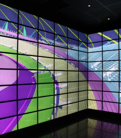
Architectural Pre-Visualization With 1.5 billion pixels, the Reality Deck can be used to immersively explore architectural models while allowing for the accurate rendering of even the smallest details. The large workspace of the Reality Deck permits large groups of users to collaboratively iterate on building designs in a comfortable fashion. |

|
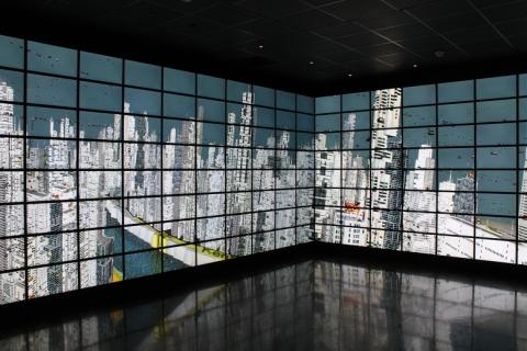
Visualization for Urban Planning Large scale urban scenes can be uniquely rendered in the Reality Deck. The users can examine the overal context of the data easily but also observe small details (such as street corners and license plates on vehicles) by simply walking up to a display. |

|
Massive Image Collections The Reality Deck can be used to explore massive collections of images. For instance, a collection of thousands works of art, spanning a period of hundres of years, can be visualized simultaneously on the walls of the facility. Looking from a distance, the users can observe patterns in style and expression at different periods and then they can examine each piece in detail by approaching a display. |

|
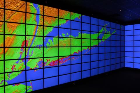
Global-scale GIS Visualization With 1.5 billion pixels and the ability to explore information at multiple scales through physical navigation, the Reality Deck is a great platform for GIS data visualization. The global picture can be easily obtained by walking back from the displays. If the user wants to zoom down to the street level, all she has to do is approach a display. |
